

Reading Maps Unit for Special Education PRINT AND DIGITAL | Elementary
CLICK FOR PREVIEW OF PRINTABLE MATERIAL
CLICK FOR PREVIEW OF DIGITAL ACTIVITIES
$7.00
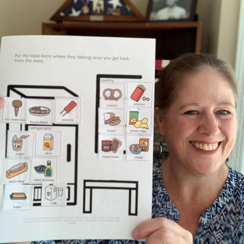
Reading maps is an important skill to introduce even in elementary school. This unit contains over 100 pages and 26 google slides of material specifically designed for students with special learning needs, especially autism.
This unit on reading maps looks at how to use a legend and a key to read a map. It also explores 4 different types of commonly used maps in a simplified but rigorous way for students with diverse learning needs to make meaningful and authentic connections to the material.
There are many opportunities for students to engage in repeated information on the information a map can hold.
Many activities and assessments include more than one version, suggestions for differentiation, and options for presentation.
This unit includes digital versions of the printable activities and movie versions of the books.
______________________________________________________________________________
If you are looking for a more basic unit on what a map and globe are check out this unit
⭐ Maps and Globes CLICK HERE
______________________________________________________________________________
See the preview for a detailed look at the contents.
*****************************************************************************
Reading Maps Unit Includes:
⭐ This unit comes in 2 complete files. One is in color and one is in black and white.
In the zipped folder you will find:
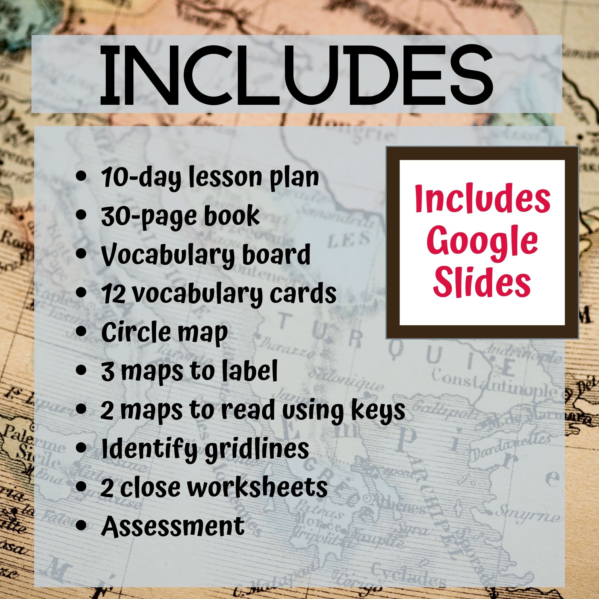
- 10 days of lesson plans
- Reading Maps activities in color
- Reading Maps activities in black and white
- Voice-recorded PowerPoint show
- Reading Maps book (PowerPoint) to use with activities
- Links and directions to digital activities
Reading Maps Activities:
- Vocabulary board
- 12 vocabulary cards
- Circle map on facts from the book (includes digital version)
- Label features of 3 different maps (differentiated) (includes digital version)
- scale
- legend
- land, water
- gridlines
- compass rose
- landmarks
- Label 2 maps using a key (includes digital version)
- Identify different grid lines (includes digital version)
- 2 fill in the blank worksheets reviewing main facts (includes digital version)
- Assessment (3 versions) (includes digital version)
*****************************************************************************
Much of what I have learned about curriculum development is incorporated in these units. For example, do not be afraid of repetition. It is critical that students with significant disabilities get to experience material over several days to be able to fully assimilate what is being taught. Also, adding visual supports to your printables and class activities helps students be able to pay more attention to the content you are presenting rather than the mechanics of what is expected. Finally, ask questions. Good questions!! Regardless of the material, if we can ask students good questions it will push them to think more deeply than before.
♥As always please take a moment to leave feedback or post any questions you may have.
♥I am currently developing more units, and any feedback I get helps me make improvements in the future.
★★★This unit was created using Ohio’s extended standards for social studies grades 3-5.★★★
$7.00
Lorem.